01
نظرة عامة
01.1
لمحة سريعة
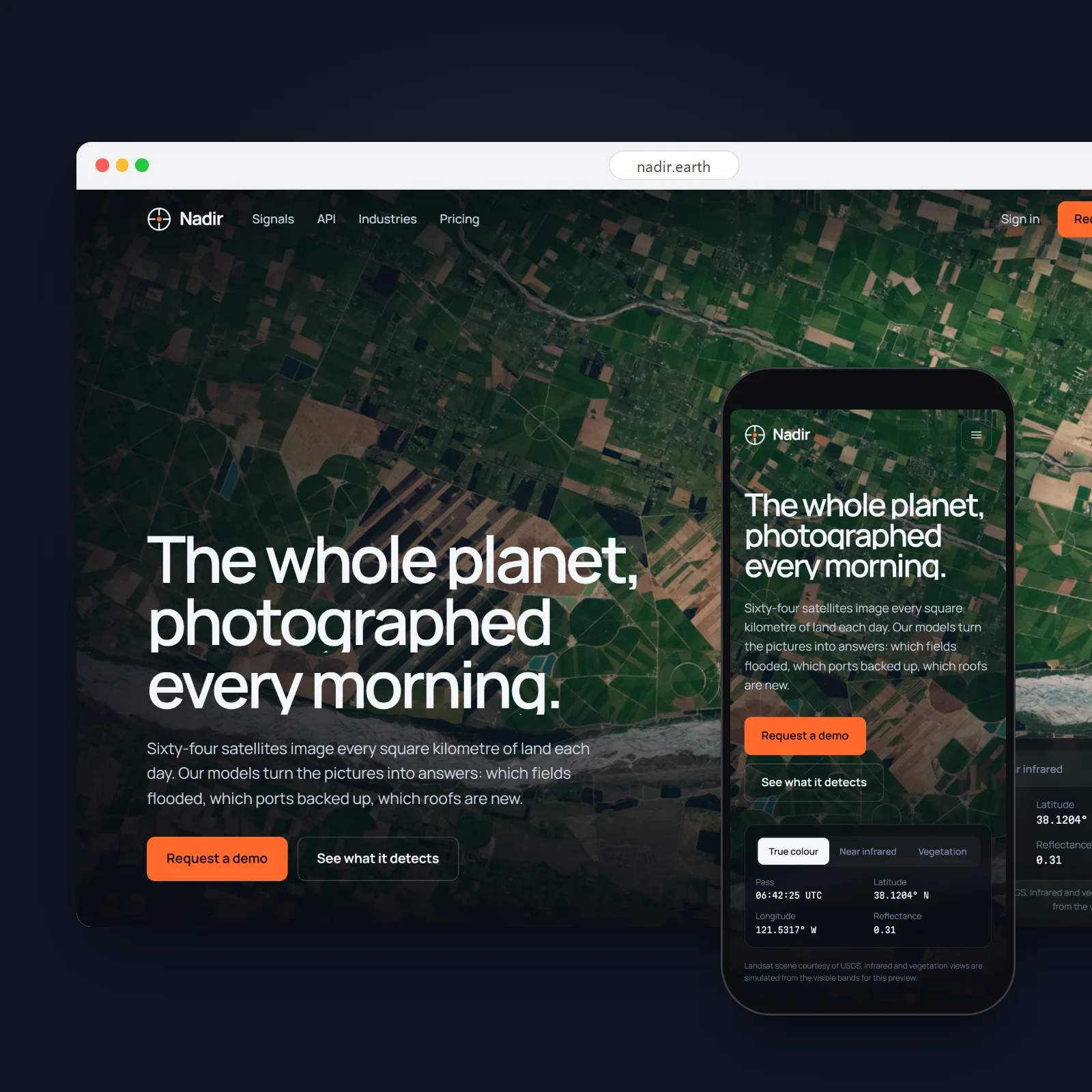
A satellite company whose homepage is a live satellite pass, rendered in WebGL over a real Landsat scene.
- المشروع
- تصميم موقع إلكتروني
- المجال
- Earth-observation satellites · Glasgow
- السنة
- 2026
- الخدمات
- تصميم موقع إلكتروني, Art Direction, Front-end Development
01.2
مقدمة
Nadir runs 64 satellites that image all of Earth’s land every day, and sells what changes in those pictures: flood extent, crop stress, new construction, shoreline retreat.
Its buyers are insurers, agricultural lenders, commodity traders and governments. The site had to show the imagery working, not describe it, and lead to a demo with their own area.
01.3
نبذة
The nadir is the point on the ground directly below a satellite, the one it sees most clearly.
02
الفكرة
02.1
الفكرة
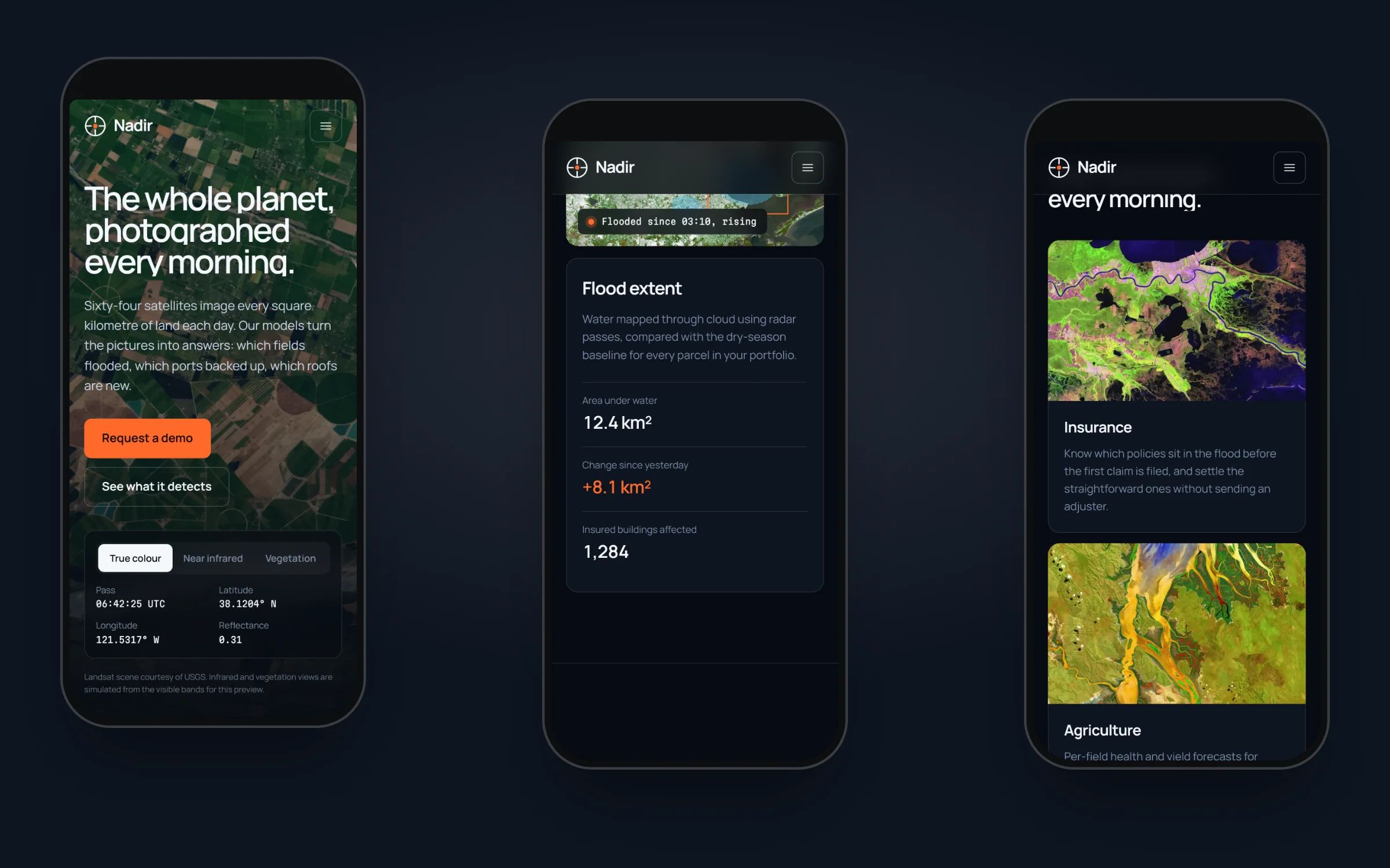
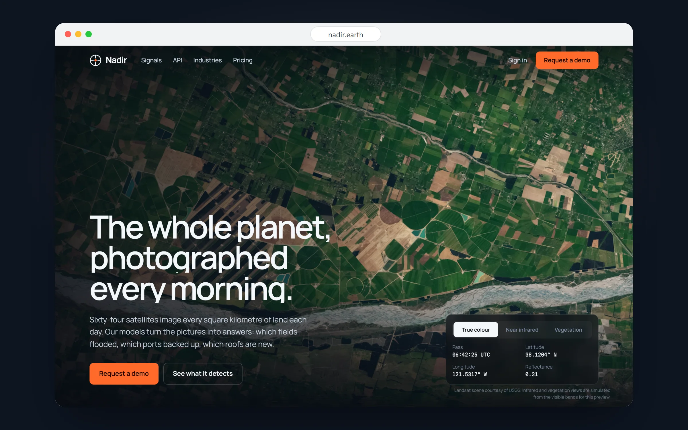
The hero is a WebGL shader over a USGS Landsat scene. On load a satellite pass downlinks the image row by row; buttons switch between true colour, near infrared and a vegetation index; the cursor reads out coordinates and the value beneath it.
The page is the night side of the planet: deep space blue, panels a shade lighter, and orange, the colour of the terminator line at sunrise, kept for live data and actions.
02.2
لوحة الألوان
ألوان الهوية ومراجعها.
- Name:
- Space
- RGB:
- 7/11/18
- HEX:
- #070B12
- Name:
- Panel
- RGB:
- 13/20/32
- HEX:
- #0D1420
- Name:
- Text
- RGB:
- 201/213/227
- HEX:
- #C9D5E3
- Name:
- White
- RGB:
- 244/247/251
- HEX:
- #F4F7FB
- Name:
- Terminator
- RGB:
- 255/106/43
- HEX:
- #FF6A2B
- Name:
- Water
- RGB:
- 79/195/255
- HEX:
- #4FC3FF
02.3
عائلات الخطوط
خطوط الهوية والأوزان التي تستخدمها.
- ManropeRegularMediumSemiBoldBold
- Martian MonoRegularMedium
03
الصفحات
03.1
Signals
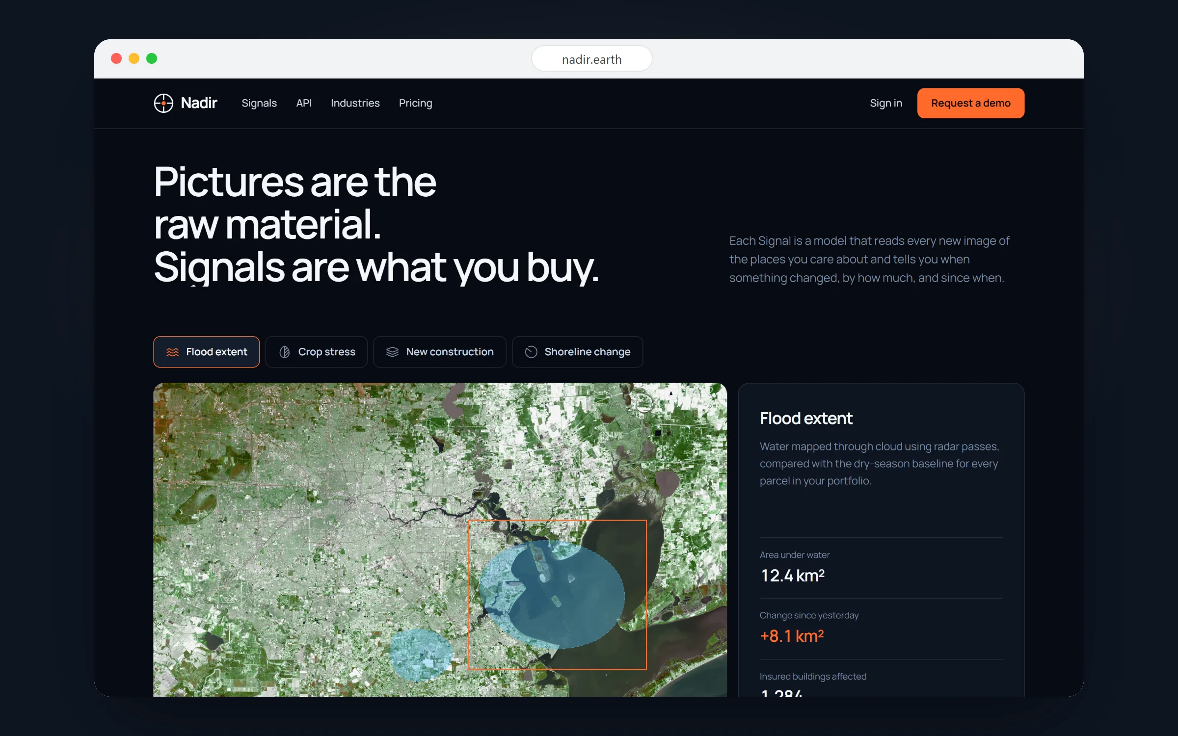
Four change detections on real scenes, flood extent, crop stress, new construction and shoreline change, each drawn over its image with the numbers a customer would act on.
03.2
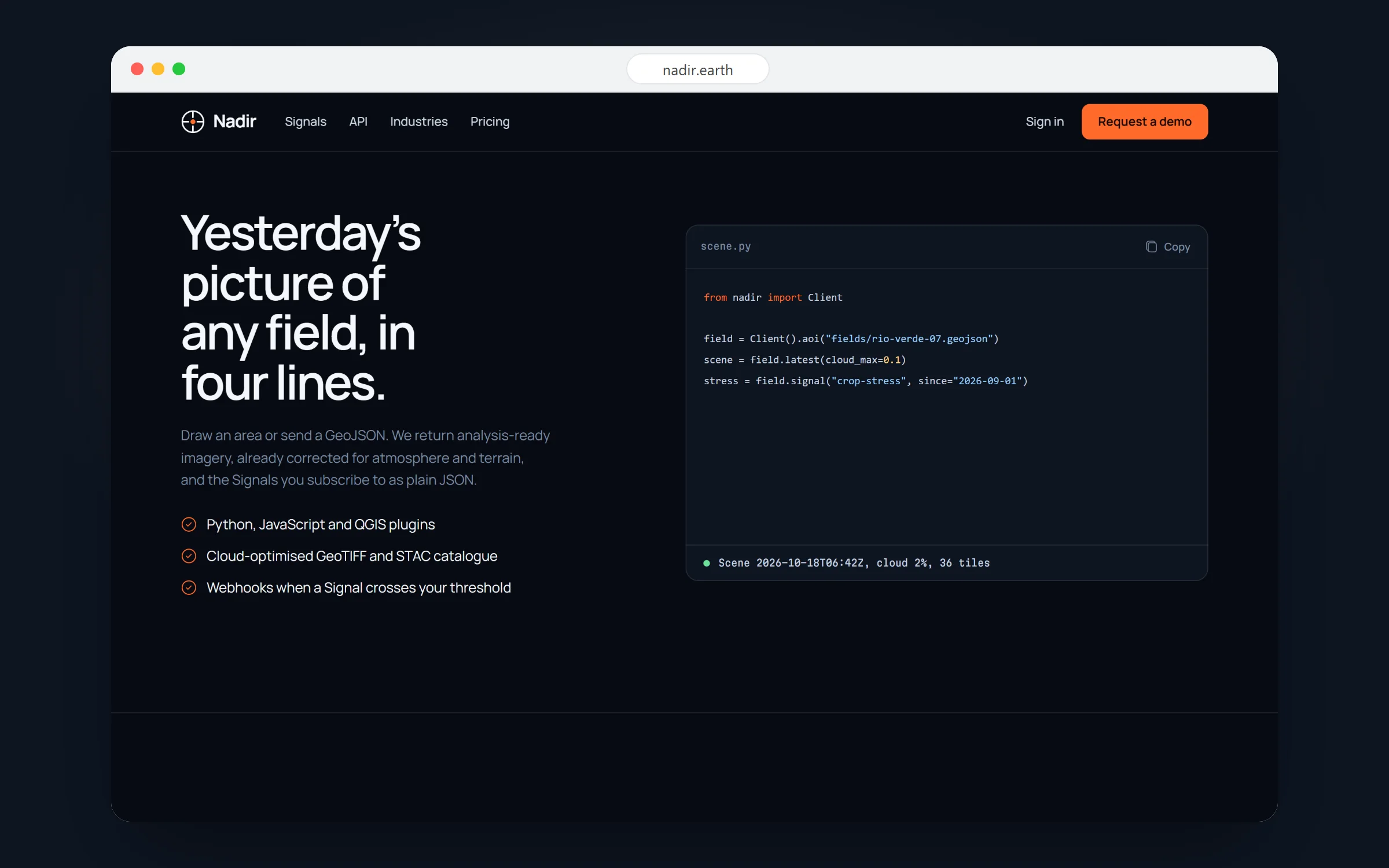
The API
“Yesterday’s picture of any field, in four lines”: the Python client beside a console whose image tiles arrive in random order, as they do from a real request.
03.3
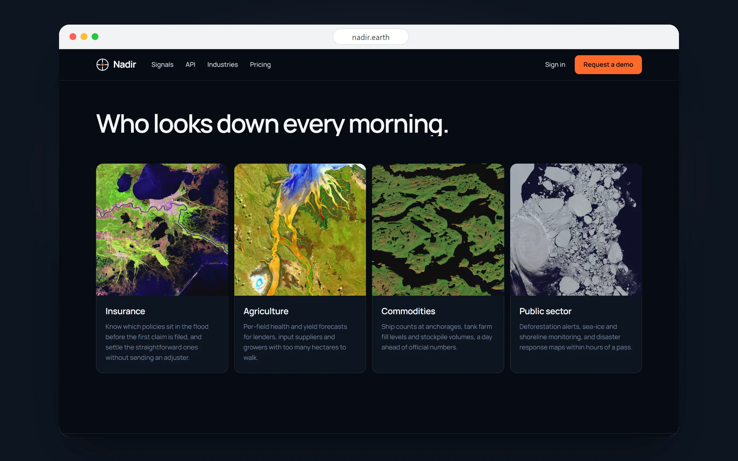
Who looks down every morning
Insurance, agriculture, commodities and the public sector, each shown through a scene of its own.
03.4
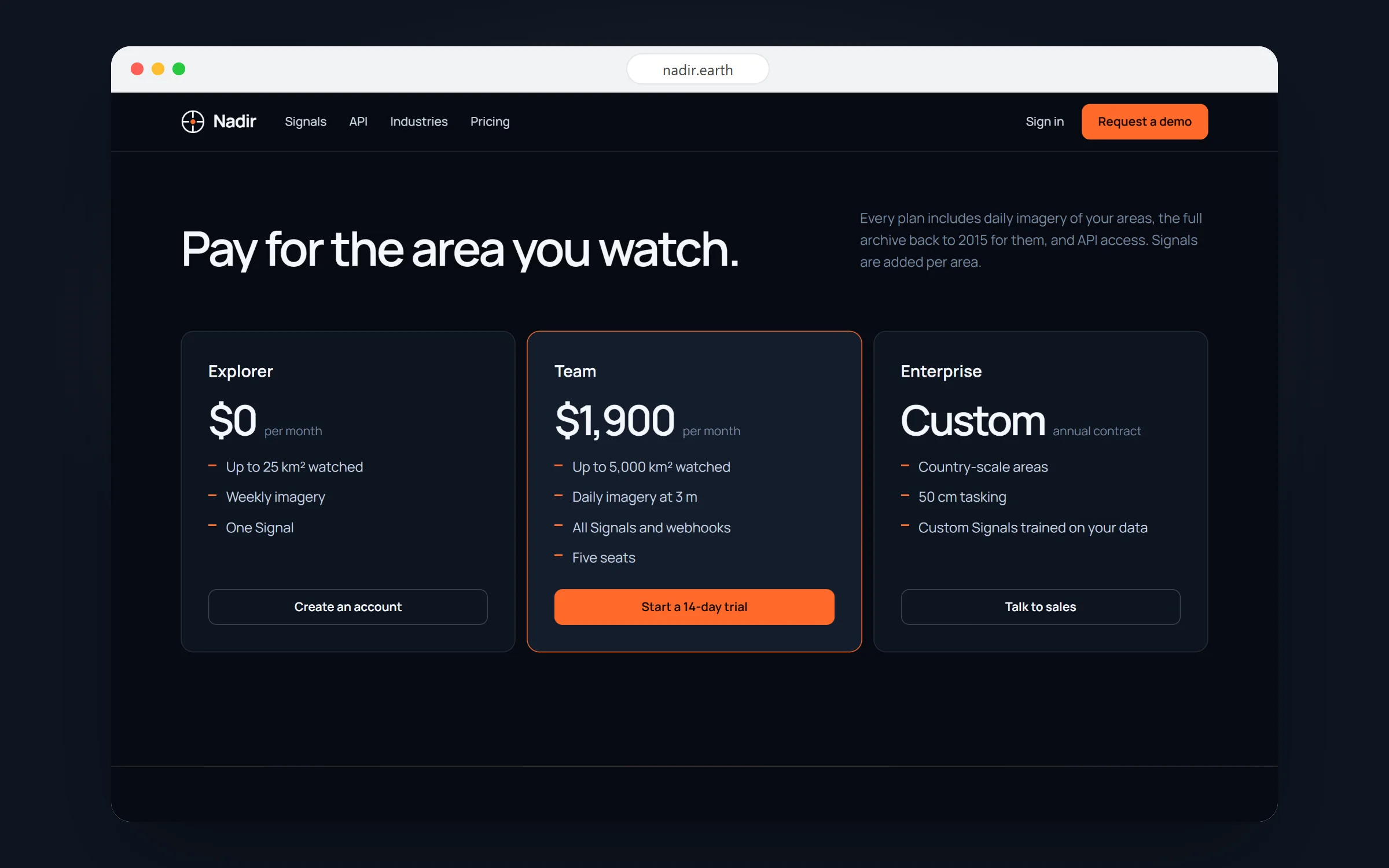
Pay for the area you watch
Three plans priced by square kilometres watched, from a free explorer account to country-scale contracts.
03.5
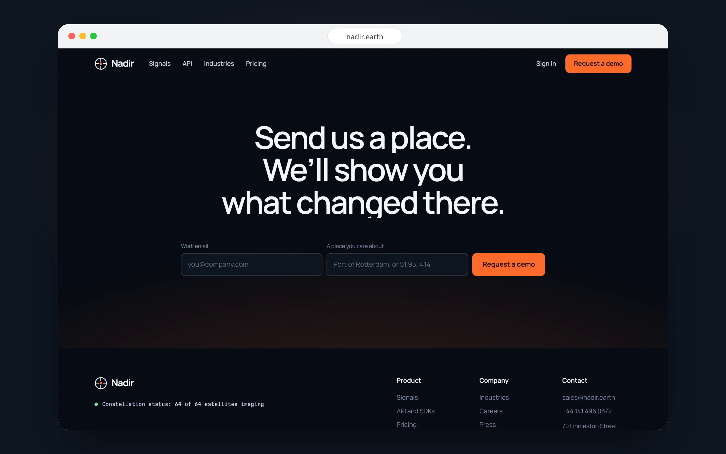
Send us a place
The demo request asks for the one thing that makes the demo convincing: a place you care about.
04
على الهاتف
04.1
The mobile site
The pass plays full-screen behind the headline, the band switcher sits under the thumb, and each Signal stacks its image above its numbers.